Geolocate

Rancakalong topographic map

Click on the map to display elevation.

About this map

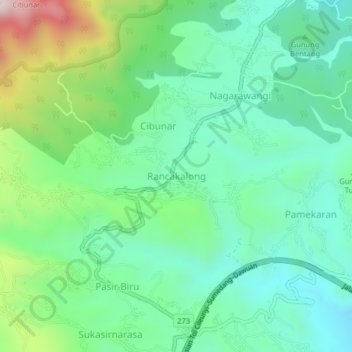
Name: Rancakalong topographic map, elevation, terrain.

Location: Rancakalong, Sumedang, West Java, Java, 45361, Indonesia (-6.85618 107.81722 -6.81618 107.85722)

Average elevation: 903 m

Minimum elevation: 692 m

Maximum elevation: 1,454 m

Other topographic maps

Click on a map to view its topography, its elevation and its terrain.

Situ II ITB

Indonesia > West Java > Sumedang > Jatinangor

Average elevation: 726 m

Gear up for your next adventure:

👟Trail Running Shoes - Agile footwear for fast-paced topographic exploration
🦶Hiking Shoe Insoles - Added support for high arches and long days on feet
🥾Hiking Shorts - Breathable shorts suitable for summer hikes
🩹Moleskin Blister Pads - Direct protection for painful foot pressure points
🦯Trekking Poles - Reduced impact on joints for steep topographic climbs

As an Amazon Associate, this site earns from qualifying purchases at no extra cost to you.