Geolocate

Mount Abu topographic map

Click on the map to display elevation.

Mount Abu

Mount Abu town, the only hill station in Rajasthan, is at an elevation of 1,220 m (4,003 ft). It has been a popular retreat from the heat of Rajasthan and neighboring Gujarat for centuries.

Wikipedia (CC-BY-SA 3.0)

About this map

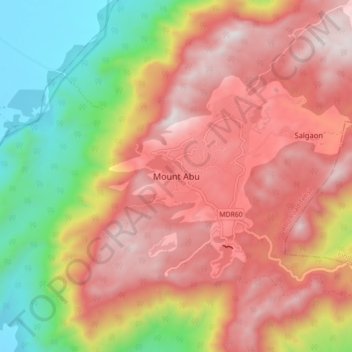
Name: Mount Abu topographic map, elevation, terrain.

Location: Mount Abu, Abu Road Tehsil, Sirohi, Rajasthan, 307500, India (24.55243 72.66819 24.63243 72.74819)

Average elevation: 914 m

Minimum elevation: 279 m

Maximum elevation: 1,422 m

Gear up for your next adventure:

🔦LED Headlamp - Hands-free lighting for early morning starts or late finishes
🥾Trail Hiking Socks - Comfortable socks to prevent blisters and fatigue
🥫Freeze-Dried Meals - Lightweight, high-calorie nutrition for multi-day treks
🧥Thermal Fleece Jacket - Versatile insulation for changing mountain temperatures
🥾Light Hiking Boots - Lightweight and comfortable boots for day hikes

As an Amazon Associate, this site earns from qualifying purchases at no extra cost to you.