
Nelway topographic map
Click on the map to display elevation.
About this map
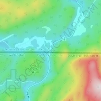
Name: Nelway topographic map, elevation, terrain.
Average elevation: 924 m
Minimum elevation: 743 m
Maximum elevation: 1,386 m
Other topographic maps
Click on a map to view its topography, its elevation and its terrain.
Hall Creek
Canada > British Columbia > Regional District of Central Kootenay > Area G (Salmo Valley)
Average elevation: 1,570 m