
Thank you for supporting this site ❤️
Make a donation
Make a donation
Gear up for your next adventure:
As an Amazon Associate, this site earns from qualifying purchases at no extra cost to you.
العاينة topographic map
Click on the map to display elevation.
Thank you for supporting this site ❤️
Make a donation
Make a donation
Gear up for your next adventure:
As an Amazon Associate, this site earns from qualifying purchases at no extra cost to you.
About this map
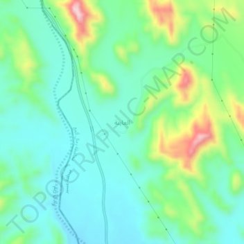
Name: العاينة topographic map, elevation, terrain.
Location: العاينة, Rijal Almaa, 'Asir Province, Saudi Arabia (17.99997 42.22405 18.03997 42.26405)
Average elevation: 346 m
Minimum elevation: 269 m
Maximum elevation: 552 m
Thank you for supporting this site ❤️
Make a donation
Make a donation
Gear up for your next adventure:
As an Amazon Associate, this site earns from qualifying purchases at no extra cost to you.