
Erro topographic map
Interactive map
Click on the map to display elevation.
About this map
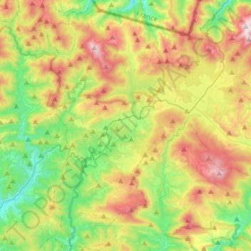
Name: Erro topographic map, elevation, terrain.
Location: Erro, Navarra, España (42.87458 -1.50781 43.05309 -1.33754)
Average elevation: 871 m
Minimum elevation: 473 m
Maximum elevation: 1,448 m