
Jambe topographic map
Interactive map
Click on the map to display elevation.
About this map
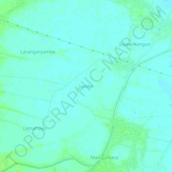
Name: Jambe topographic map, elevation, terrain.
Average elevation: 9 m
Minimum elevation: 6 m
Maximum elevation: 15 m
Other topographic maps
Click on a map to view its topography, its elevation and its terrain.
Karangasem
Indonésie > Java occidental > Kabupaten Indramayu
Karangasem, Kabupaten Indramayu, Java occidental, 45260, Indonésie
Average elevation: 13 m