Geolocate

Malassis topographic map

Click on the map to display elevation.

About this map
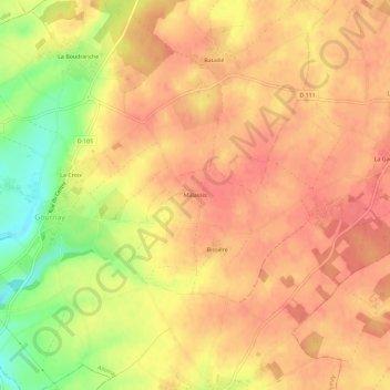
Name: Malassis topographic map, elevation, terrain.

Location: Malassis, Les Alleuds, Alloinay, Niort, Deux-Sèvres, Nouvelle-Aquitaine, France métropolitaine, 79190, France (46.13335 -0.06013 46.17335 -0.02013)

Average elevation: 156 m

Minimum elevation: 114 m

Maximum elevation: 173 m

Other topographic maps

Click on a map to view its topography, its elevation and its terrain.

Les Alleuds

France > Nouvelle-Aquitaine > Deux-Sèvres > Alloinay

Average elevation: 162 m

Gear up for your next adventure:

🥾Hiking Gaiters - Protect legs and shoes from mud, snow, and debris
🧢Sun Protection Cap - Breathable cap to protect from sun exposure
🔋Solar Power Bank - Keep your GPS and devices charged during long outdoor trips
🪑Ultralight Camping Stool - Compact seating for rest stops during long hikes
🧊Portable Cooler - Keep food and drinks cold during outdoor adventures

As an Amazon Associate, this site earns from qualifying purchases at no extra cost to you.