Geolocate

Valbruna topographic map

Click on the map to display elevation.

About this map

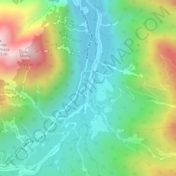
Name: Valbruna topographic map, elevation, terrain.

Location: Valbruna, Tarvisio, Udine, Friuli-Venezia Giulia, Italy (46.45761 13.48308 46.47925 13.49477)

Average elevation: 1,130 m

Minimum elevation: 840 m

Maximum elevation: 1,742 m

Gear up for your next adventure:

🚲Heavy Duty Bike Lock - Secure your bike at the trailhead or during stops
🎒Hiking Daypack - Lightweight and durable backpacks for day trips and excursions
🥾Hiking Shoes - Durable and comfortable shoes for trail hiking
💡LED Headlamp - Hands-free illumination for night hiking and camping
🥾Mountain Trail Shoes - High-traction shoes for mountain trails

As an Amazon Associate, this site earns from qualifying purchases at no extra cost to you.