Geolocate

Bertonio topographic map

Click on the map to display elevation.

About this map

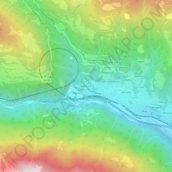
Name: Bertonio topographic map, elevation, terrain.

Location: Bertonio, Varzo, Verbano-Cusio-Ossola, Piemonte, 28868, Italia (46.18933 8.21801 46.22933 8.25801)

Average elevation: 1,010 m

Minimum elevation: 457 m

Maximum elevation: 2,033 m

Gear up for your next adventure:

🥾Waterproof Hiking Shoes - Durable shoes for wet and rugged trails
🧣Merino Neck Gaiter - Protects against wind, sun, and cold at high altitudes
🔪Outdoor Multitool - Versatile tool for repairs and food prep in the wild
🧭GPS Handheld Device - Reliable GPS navigation for outdoor adventures
🥾Approach Shoes - Shoes designed for climbing approaches and rugged trails

As an Amazon Associate, this site earns from qualifying purchases at no extra cost to you.