Geolocate

Moreo topographic map

Click on the map to display elevation.

About this map
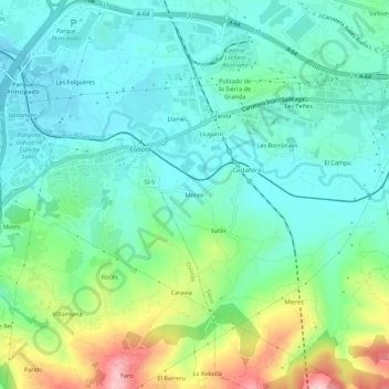
Name: Moreo topographic map, elevation, terrain.

Location: Moreo, Siero, Asturias, 33429, España (43.35401 -5.80442 43.39401 -5.76442)

Average elevation: 207 m

Minimum elevation: 154 m

Maximum elevation: 351 m

Other topographic maps

Click on a map to view its topography, its elevation and its terrain.

San Juan Arenas

España > Asturias > Siero

Average elevation: 334 m

Santiago Arenas

España > Asturias > Siero

Average elevation: 400 m

Collado

España > Asturias > Siero

Average elevation: 288 m

Collado

España > Asturias > Siero

Average elevation: 288 m

Gear up for your next adventure:

🧥Waterproof Jacket - Lightweight rain jackets for hiking and outdoor activities
🩹Moleskin Blister Pads - Direct protection for painful foot pressure points
🔦LED Headtorch - Bright and durable light for night activities
🧭Orienteering Kit - Tools for map reading and navigation in the wild
🛏️Sleeping Bag - Warm and compact sleeping bags for outdoor camping

As an Amazon Associate, this site earns from qualifying purchases at no extra cost to you.