
Thank you for supporting this site ❤️
Make a donation
Make a donation
Gear up for your next adventure:
As an Amazon Associate, this site earns from qualifying purchases at no extra cost to you.
Anamod topographic map
Click on the map to display elevation.
Thank you for supporting this site ❤️
Make a donation
Make a donation
Gear up for your next adventure:
As an Amazon Associate, this site earns from qualifying purchases at no extra cost to you.
About this map
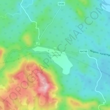
Name: Anamod topographic map, elevation, terrain.
Location: Anamod, Supa taluk, Uttara Kannada, Karnataka, 581453, India (15.41603 74.29017 15.45603 74.33017)
Average elevation: 647 m
Minimum elevation: 571 m
Maximum elevation: 820 m
Thank you for supporting this site ❤️
Make a donation
Make a donation
Gear up for your next adventure:
As an Amazon Associate, this site earns from qualifying purchases at no extra cost to you.