
Thank you for supporting this site ❤️
Make a donation
Make a donation
Gear up for your next adventure:
As an Amazon Associate, this site earns from qualifying purchases at no extra cost to you.
Benra topographic map
Click on the map to display elevation.
Thank you for supporting this site ❤️
Make a donation
Make a donation
Gear up for your next adventure:
As an Amazon Associate, this site earns from qualifying purchases at no extra cost to you.
About this map
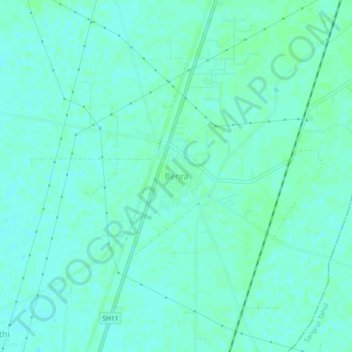
Name: Benra topographic map, elevation, terrain.
Location: Benra, Dhuri Tahsil, Sangrur, Punjab, 148034, Indien (30.31413 75.82968 30.35413 75.86968)
Average elevation: 241 m
Minimum elevation: 238 m
Maximum elevation: 243 m
Thank you for supporting this site ❤️
Make a donation
Make a donation
Gear up for your next adventure:
As an Amazon Associate, this site earns from qualifying purchases at no extra cost to you.