Geolocate

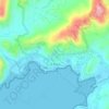
Dikos topographic map

Click on the map to display elevation.

About this map
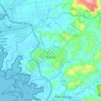
Name: Dikos topographic map, elevation, terrain.

Location: Dikos, Le Marin, Martinique, 97224, France (14.54750 -61.00224 14.60966 -60.93472)

Average elevation: 32 m

Minimum elevation: -1 m

Maximum elevation: 243 m

Other topographic maps

Click on a map to view its topography, its elevation and its terrain.

Belle Étoile

France > Martinique > Sainte-Marie

Average elevation: 43 m

Canton Suisse

France > Martinique > Le Morne-Vert

Average elevation: 337 m

Baie de Fort-de-France

France > Martinique

Average elevation: 0 m

Le Diaka

France > Martinique > Le Marin

Average elevation: 38 m

Gear up for your next adventure:

🔪Outdoor Multitool - Versatile tool for repairs and food prep in the wild
💡Portable Camping Lamp - Rechargeable lamp for campsite lighting
🔨Vehicle Emergency Tool - Safety tool for remote road trips to trailheads
🧣Merino Neck Gaiter - Protects against wind, sun, and cold at high altitudes
🥾Mountain Hiking Boots - High-traction boots for rocky terrain

As an Amazon Associate, this site earns from qualifying purchases at no extra cost to you.