

Pirmam topographic map
Click on the map to display elevation.
Pirmam
Masif Selahaddin is situated approximately 36 kilometers northeast of Erbil City. The town is visible on any given day from Erbil, especially during the evenings and nighttime hours, Erbil is also visible from the town, notably it is one of the few natural spots where Erbil is visible, where people can park their cars on the hills and have picnics, as most of the topography in the south and west is flat and mostly agricultural these areas do not offer a good view. it is the only well known vantage point where the city is clearly visible, it is a 30-45 minute drive from the city center, depending on the starting point and traffic conditions. The elevation of the area is 1107 m (3632 ft). The area is surrounded by Selahaddin Mountain in the southeastern part, the Safin anticline in the northeast, and the Sartka anticline in the southwestern part.
About this map
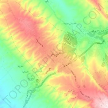
Name: Pirmam topographic map, elevation, terrain.
Average elevation: 927 m
Minimum elevation: 619 m
Maximum elevation: 1,301 m
Other topographic maps
Click on a map to view its topography, its elevation and its terrain.
