Geolocate
👉 Easily get elevation data in JSON, GeoTIFF and KML formats using Elevation API
Thank you for supporting this site ❤️
Make a donation

Rosingo topographic map

Click on the map to display elevation.

About this map

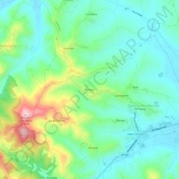
Name: Rosingo topographic map, elevation, terrain.

Location: Rosingo, Cerrina Monferrato, Alessandria, Piedmont, 15020, Italy (45.10493 8.17672 45.14493 8.21672)

Average elevation: 234 m

Minimum elevation: 160 m

Maximum elevation: 424 m

Gear up for your next adventure:

Camping Tent - Weather-resistant tents suitable for 2 to 6 people
🧼Travel Hand Sanitizer - Keep hands clean when water is scarce
🧭GPS Tracker - Track your location in remote areas safely
🪑Ultralight Camping Stool - Compact seating for rest stops during long hikes
🩹Moleskin Blister Pads - Direct protection for painful foot pressure points

As an Amazon Associate, this site earns from qualifying purchases at no extra cost to you.