Geolocate

Jerome topographic map

Click on the map to display elevation.

About this map

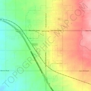
Name: Jerome topographic map, elevation, terrain.

Location: Jerome, Jerome County, Idaho, United States (42.68057 -114.53813 42.74591 -114.49236)

Average elevation: 1,140 m

Minimum elevation: 1,088 m

Maximum elevation: 1,199 m

Other topographic maps

Click on a map to view its topography, its elevation and its terrain.

Shoshone Falls

United States > Idaho > Jerome County

Average elevation: 1,107 m

Gear up for your next adventure:

🥾Trail Hiking Shoes - Durable shoes designed for rugged trails
🚲Heavy Duty Bike Lock - Secure your bike at the trailhead or during stops
🧭GPS Tracker - Track your location in remote areas safely
🧳Compression Sacks - Maximize space in your backpack by shrinking gear
🔋Emergency Crank Radio - Weather alerts and power without needing batteries

As an Amazon Associate, this site earns from qualifying purchases at no extra cost to you.