Geolocate

Bad Orb topographic map

Click on the map to display elevation.

About this map

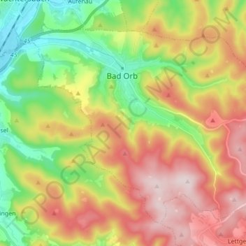
Name: Bad Orb topographic map, elevation, terrain.

Location: Bad Orb, Main-Kinzig-Kreis, Hesse, 63619, Germany (50.17406 9.29263 50.24535 9.42994)

Average elevation: 325 m

Minimum elevation: 135 m

Maximum elevation: 546 m

Other topographic maps

Click on a map to view its topography, its elevation and its terrain.

Ramholz

Germany > Hesse > Main-Kinzig-Kreis > Vollmerz

Average elevation: 373 m

Hanau

Germany > Hesse > Main-Kinzig-Kreis > Hanau

Average elevation: 110 m

Gear up for your next adventure:

🧣Merino Neck Gaiter - Protects against wind, sun, and cold at high altitudes
🛶Kayak Accessories - Essential gear for safe and fun kayaking adventures
🧥Waterproof Hiking Jacket - Protect yourself from rain and wind while hiking
🧣Evaporative Cooling Towel - Beat the heat during intense summer climbs
🧴Bear Spray Holster - Quick-access carry for essential Canadian wilderness safety

As an Amazon Associate, this site earns from qualifying purchases at no extra cost to you.