Geolocate

Uley topographic map

Click on the map to display elevation.

About this map

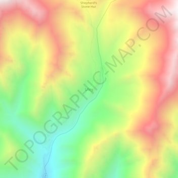
Name: Uley topographic map, elevation, terrain.

Location: Uley, Khalsi tehsil, Leh District, Ladakh, India (34.31373 77.11178 34.35373 77.15178)

Average elevation: 4,249 m

Minimum elevation: 3,640 m

Maximum elevation: 4,884 m

Gear up for your next adventure:

🔨Vehicle Emergency Tool - Safety tool for remote road trips to trailheads
🧴Sunscreen SPF - Broad-spectrum sunscreen for outdoor activities
🧣Evaporative Cooling Towel - Beat the heat during intense summer climbs
🧤Insulated Winter Gloves - Heavy-duty protection for sub-zero Canadian adventures
🥾Mountaineering Boots - Supportive boots for climbing and high-altitude hiking

As an Amazon Associate, this site earns from qualifying purchases at no extra cost to you.