Geolocate

Tullamulla topographic map

Click on the map to display elevation.

About this map

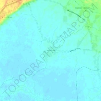
Name: Tullamulla topographic map, elevation, terrain.

Location: Tullamulla, Lar, Ganderbal, Jammu and Kashmir, 191131, India (34.20154 74.71293 34.24154 74.75293)

Average elevation: 1,587 m

Minimum elevation: 1,582 m

Maximum elevation: 1,613 m

Gear up for your next adventure:

🧦Merino Wool Socks - Moisture-wicking comfort for long-distance hiking
Lightweight Camping Tent - Portable shelter optimized for Canadian backcountry camping
🛌Insulated Sleeping Pad - Critical thermal barrier between you and the cold ground
🔭Compact Monocular - One-handed bird watching and trail spotting
🚲Heavy Duty Bike Lock - Secure your bike at the trailhead or during stops

As an Amazon Associate, this site earns from qualifying purchases at no extra cost to you.