
黄壁庄镇 topographic map
Interactive map
Click on the map to display elevation.
About this map
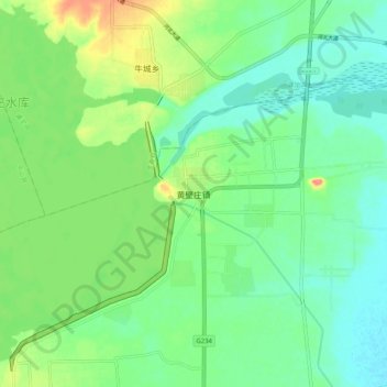
Name: 黄壁庄镇 topographic map, elevation, terrain.
Location: 黄壁庄镇, 石家庄市, 河北省, 中国 (38.20738 114.27512 38.28738 114.35512)
Average elevation: 110 m
Minimum elevation: 86 m
Maximum elevation: 162 m
Other topographic maps
Click on a map to view its topography, its elevation and its terrain.