Geolocate

Elmer topographic map

Click on the map to display elevation.

About this map

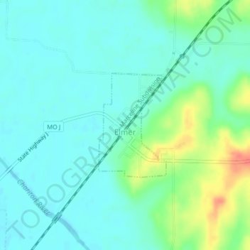
Name: Elmer topographic map, elevation, terrain.

Location: Elmer, Macon County, Missouri, United States (39.95189 -92.65414 39.96314 -92.64459)

Average elevation: 229 m

Minimum elevation: 216 m

Maximum elevation: 266 m

Other topographic maps

Click on a map to view its topography, its elevation and its terrain.

College Mound

United States > Missouri > Macon County

Average elevation: 248 m

Bloomington

United States > Missouri > Macon County

Average elevation: 251 m

Sue City

United States > Missouri > Macon County

Average elevation: 255 m

Laplata Lake Dam

United States > Missouri > Macon County

Average elevation: 277 m

Gear up for your next adventure:

🛰️Satellite Messenger - Emergency communication for areas with no cell service
🔥Camping Stove - Portable stoves to cook outdoors with ease
🧢Hiking Sun Hat - Wide-brimmed protection for exposed mountain ridges
🥾Trail Hiking Boots - Supportive boots for rough trails
🧢Hiking Hat - Sun-protective and breathable hats for long treks

As an Amazon Associate, this site earns from qualifying purchases at no extra cost to you.