
لذه topographic map
Interactive map
Click on the map to display elevation.
About this map
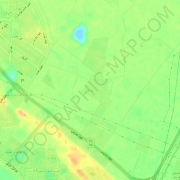
Name: لذه topographic map, elevation, terrain.
Location: لذه, Ahvaz, بخش مرکزی, شهرستان اهواز, Khouzistan, Iran (31.28651 48.75369 31.32651 48.79369)
Average elevation: 18 m
Minimum elevation: -5 m
Maximum elevation: 31 m