Geolocate

Duck topographic map

Click on the map to display elevation.

About this map

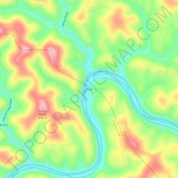
Name: Duck topographic map, elevation, terrain.

Location: Duck, Clay County, West Virginia, 25063, United States (38.56343 -80.95677 38.60343 -80.91677)

Average elevation: 314 m

Minimum elevation: 223 m

Maximum elevation: 431 m

Other topographic maps

Click on a map to view its topography, its elevation and its terrain.

Clay

United States > West Virginia > Clay County

The city of Charleston, the state capitol, is approximately 40 miles (64 km) from Clay to the southwest. Clay is centrally located within Clay County at 38°27′46″N 81°4′48″W / 38.46278°N 81.08000°W / 38.46278; -81.08000 (38.462855, -81.080024), along the Elk River and West Virginia Route…

Average elevation: 312 m

Gear up for your next adventure:

Lightweight Backpacking Tent - Compact tent for efficient hiking trips
🔦LED Flashlight - Powerful and long-lasting flashlight for camping and emergencies
🧤Insulated Winter Gloves - Heavy-duty protection for sub-zero Canadian adventures
🦶Hiking Shoe Insoles - Added support for high arches and long days on feet
🚑Survival Whistle - Signal for help across long distances in mountains

As an Amazon Associate, this site earns from qualifying purchases at no extra cost to you.