Geolocate

Wienerberg topographic map

Click on the map to display elevation.

About this map

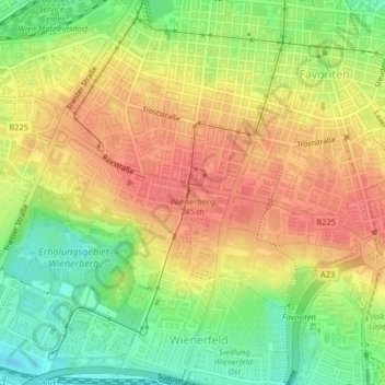
Name: Wienerberg topographic map, elevation, terrain.

Location: Wienerberg, Vienna, 1102, Austria (48.16505 16.36398 48.16515 16.36408)

Average elevation: 223 m

Minimum elevation: 187 m

Maximum elevation: 251 m

Other topographic maps

Click on a map to view its topography, its elevation and its terrain.

KG Stammersdorf

Austria > Vienna

Average elevation: 196 m

Gear up for your next adventure:

🧣Evaporative Cooling Towel - Beat the heat during intense summer climbs
🪑Ultralight Camping Stool - Compact seating for rest stops during long hikes
🥫Freeze-Dried Meals - Lightweight, high-calorie nutrition for multi-day treks
🥾Approach Shoes - Shoes designed for climbing approaches and rugged trails
💡LED Camping Lantern - Illuminate your campsite with long-lasting lanterns

As an Amazon Associate, this site earns from qualifying purchases at no extra cost to you.