
Aldunate topographic map
Interactive map
Click on the map to display elevation.
About this map
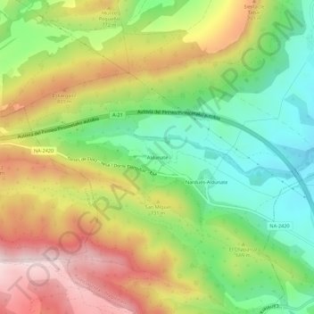
Name: Aldunate topographic map, elevation, terrain.
Location: Aldunate, Urraúl Bajo, Prepirineo, España (42.63483 -1.39288 42.67483 -1.35288)
Average elevation: 663 m
Minimum elevation: 458 m
Maximum elevation: 918 m