
Volgograd topographic map
Click on the map to display elevation.
About this map
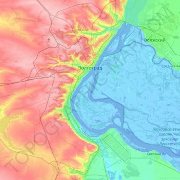
Name: Volgograd topographic map, elevation, terrain.
Location: Volgograd, Volgograd Oblast, Southern Federal District, Russia (48.40705 44.10877 48.88907 44.68743)
Average elevation: 55 m
Minimum elevation: -15 m
Maximum elevation: 163 m
Other topographic maps
Click on a map to view its topography, its elevation and its terrain.