
Thank you for supporting this site ❤️
Make a donation
Make a donation
Gear up for your next adventure:
As an Amazon Associate, this site earns from qualifying purchases at no extra cost to you.
Kafwimbi topographic map
Click on the map to display elevation.
Thank you for supporting this site ❤️
Make a donation
Make a donation
Gear up for your next adventure:
As an Amazon Associate, this site earns from qualifying purchases at no extra cost to you.
About this map
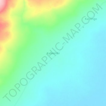
Name: Kafwimbi topographic map, elevation, terrain.
Location: Kafwimbi, Tanganyika, Democratic Republic of the Congo (-8.29503 29.70078 -8.25503 29.74078)
Average elevation: 995 m
Minimum elevation: 951 m
Maximum elevation: 1,139 m
Thank you for supporting this site ❤️
Make a donation
Make a donation
Gear up for your next adventure:
As an Amazon Associate, this site earns from qualifying purchases at no extra cost to you.