
Grande Mée topographic map
Interactive map
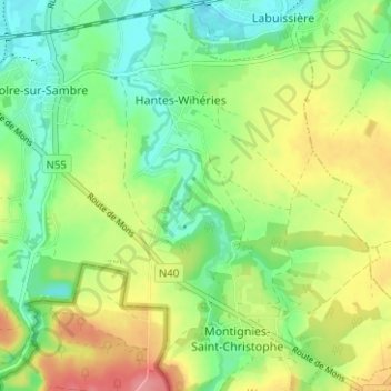
Click on the map to display elevation.
About this map
Name: Grande Mée topographic map, elevation, terrain.
Average elevation: 152 m
Minimum elevation: 117 m
Maximum elevation: 202 m
Other topographic maps
Click on a map to view its topography, its elevation and its terrain.
Wihéries
Belgique > Hainaut > Thuin > Hantes-Wihéries
Wihéries, Hantes-Wihéries, Erquelinnes, Thuin, Hainaut, Wallonie, 6560, Belgique
Average elevation: 148 m