
Bousval topographic map
Interactive map
Click on the map to display elevation.
About this map
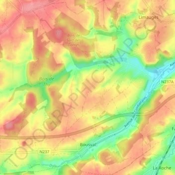
Name: Bousval topographic map, elevation, terrain.
Location: Bousval, Genappe, Nivelles, Brabant wallon, Wallonie, Belgique (50.60805 4.48937 50.65595 4.54157)
Average elevation: 112 m
Minimum elevation: 64 m
Maximum elevation: 147 m
Other topographic maps
Click on a map to view its topography, its elevation and its terrain.