
Blounts Creek topographic map
Interactive map
Click on the map to display elevation.
About this map
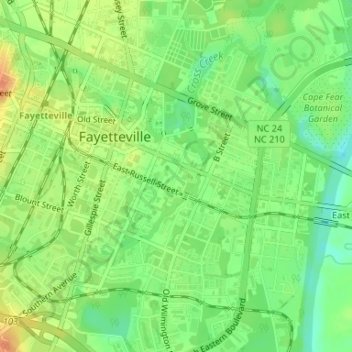
Name: Blounts Creek topographic map, elevation, terrain.
Average elevation: 29 m
Minimum elevation: 9 m
Maximum elevation: 49 m
Other topographic maps
Click on a map to view its topography, its elevation and its terrain.
Rivercliff
United States > North Carolina > Cumberland County > Fayetteville
Rivercliff, Fayetteville, Cumberland County, North Carolina, 28301, United States
Average elevation: 42 m
Bordeaux
United States > North Carolina > Cumberland County > Fayetteville
Bordeaux, Fayetteville, Cumberland County, North Carolina, 28248, United States
Average elevation: 59 m
Fenix
United States > North Carolina > Cumberland County > Fayetteville
Fenix, Fayetteville, Cumberland County, North Carolina, 28314, United States
Average elevation: 62 m
Cade Hill
United States > North Carolina > Cumberland County > Fayetteville
Cade Hill, Fayetteville, Cumberland County, North Carolina, United States
Average elevation: 26 m
Atlantic Coastal Plain
United States > North Carolina > Cumberland County > Fayetteville
Atlantic Coastal Plain, Fayetteville, Cumberland County, North Carolina, 28304, United States
Average elevation: 51 m
Owens
United States > North Carolina > Cumberland County > Fayetteville > Owens
Owens, Fayetteville, Cumberland County, North Carolina, 28305, United States
Average elevation: 61 m