Geolocate

Mergo topographic map

Click on the map to display elevation.

About this map
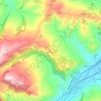
Name: Mergo topographic map, elevation, terrain.

Location: Mergo, Ancona, Marche, Italia (43.45538 13.00714 43.49056 13.06310)

Average elevation: 302 m

Minimum elevation: 132 m

Maximum elevation: 497 m

Gear up for your next adventure:

🧭GPS Tracker - Track your location in remote areas safely
🧊Portable Cooler - Keep food and drinks cold during outdoor adventures
🧥Thermal Fleece Jacket - Versatile insulation for changing mountain temperatures
🧴Insect Repellent - Protect yourself from bugs during outdoor adventures
🪑Ultralight Camping Stool - Compact seating for rest stops during long hikes

As an Amazon Associate, this site earns from qualifying purchases at no extra cost to you.