Geolocate

Lac Michel topographic map

Click on the map to display elevation.

About this map

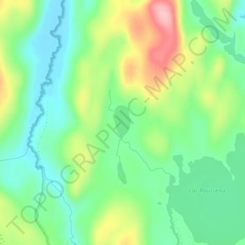
Name: Lac Michel topographic map, elevation, terrain.

Location: Lac Michel, Lac-au-Brochet, La Haute-Côte-Nord, Côte-Nord, Quebec, Canada (49.29611 -69.79480 49.29999 -69.79168)

Average elevation: 460 m

Minimum elevation: 404 m

Maximum elevation: 564 m

La Haute-Côte-Nord trails, hiking, mountain biking, running and outdoor activities

Gear up for your next adventure:

🥾Lightweight Hiking Boots - Boots for comfort and mobility on long hikes
🩹Moleskin Blister Pads - Direct protection for painful foot pressure points
🎒Hiking Daypack - Lightweight and durable backpacks for day trips and excursions
🧦Crew Hiking Socks - Comfortable socks for long-distance hikes
🧴Waterproofing Spray - Restore the DWR coating on jackets and tents

As an Amazon Associate, this site earns from qualifying purchases at no extra cost to you.