
river Sowori topographic map
Interactive map
Click on the map to display elevation.
About this map
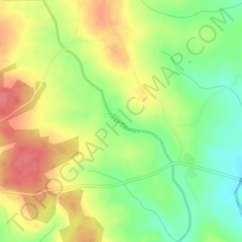
Name: river Sowori topographic map, elevation, terrain.
Location: river Sowori, Jankata, Ibarapa East, Oyo State, Nigeria (7.51352 3.53166 7.54944 3.55366)
Average elevation: 147 m
Minimum elevation: 112 m
Maximum elevation: 181 m