
Roch topographic map
Interactive map
Click on the map to display elevation.
About this map
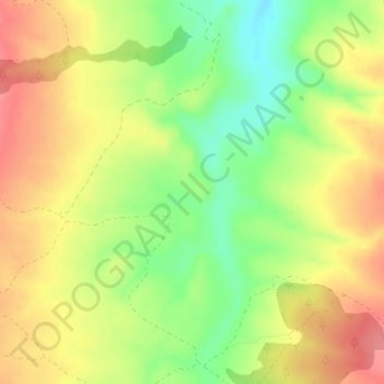
Name: Roch topographic map, elevation, terrain.
Location: Roch, Ayora, El Valle de Cofrentes-Ayora, Valencia, Spanje (38.99913 -1.18167 39.01913 -1.16167)
Average elevation: 783 m
Minimum elevation: 739 m
Maximum elevation: 821 m
Other topographic maps
Click on a map to view its topography, its elevation and its terrain.