
Balaraja topographic map
Interactive map
Click on the map to display elevation.
About this map
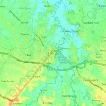
Name: Balaraja topographic map, elevation, terrain.
Location: Balaraja, Kabupaten Tangerang, Banten, 15610, Indonésie (-6.23302 106.42284 -6.15302 106.50284)
Average elevation: 18 m
Minimum elevation: 5 m
Maximum elevation: 38 m