
Oyster Creek topographic map
Interactive map
Click on the map to display elevation.
About this map
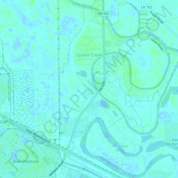
Name: Oyster Creek topographic map, elevation, terrain.
Location: Oyster Creek, Brazoria County, Texas, United States (28.97605 -95.33939 29.01493 -95.30805)
Average elevation: 3 m
Minimum elevation: -4 m
Maximum elevation: 9 m