Geolocate

Gumpang topographic map

Click on the map to display elevation.

About this map

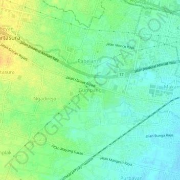
Name: Gumpang topographic map, elevation, terrain.

Location: Gumpang, Sukoharjo, Central Java, Java, 57162, Indonesia (-7.58375 110.73916 -7.54375 110.77916)

Average elevation: 113 m

Minimum elevation: 102 m

Maximum elevation: 129 m

Other topographic maps

Click on a map to view its topography, its elevation and its terrain.

Puron

Indonesia > Central Java > Sukoharjo

Average elevation: 128 m

Bulu

Indonesia > Central Java > Sukoharjo

Average elevation: 126 m

Lapangan Makamhaji

Indonesia > Central Java > Sukoharjo > Gentan > Kuyudan

Average elevation: 104 m

Waduk Mulur

Indonesia > Central Java > Sukoharjo > Bendosari

Average elevation: 114 m

Karangasem

Indonesia > Central Java > Sukoharjo > Karangasem

Average elevation: 115 m

Gear up for your next adventure:

🧣Evaporative Cooling Towel - Beat the heat during intense summer climbs
🩹Compact First Aid Kit - Pre-packed essentials for common trail injuries
🥾Mountain Hiking Boots - High-traction boots for rocky terrain
🔦LED Headtorch - Bright and durable light for night activities
🥾Mountain Hiking Shoes - Shoes with superior grip for mountainous terrain

As an Amazon Associate, this site earns from qualifying purchases at no extra cost to you.