
Zolder topographic map
Interactive map
Click on the map to display elevation.
About this map
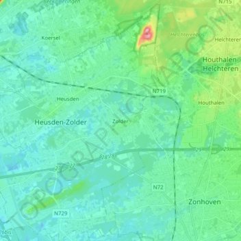
Name: Zolder topographic map, elevation, terrain.
Location: Zolder, Heusden-Zolder, Hasselt, Limburg, Vlaanderen, België (50.97518 5.22931 51.07267 5.35195)
Average elevation: 43 m
Minimum elevation: 22 m
Maximum elevation: 142 m
Other topographic maps
Click on a map to view its topography, its elevation and its terrain.