Geolocate

Kajulu Rakwaro topographic map

Click on the map to display elevation.

About this map

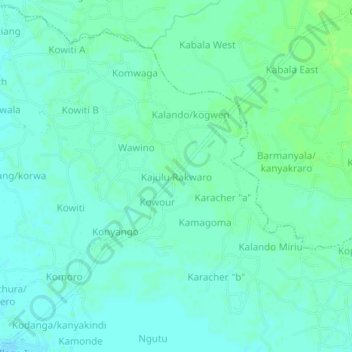
Name: Kajulu Rakwaro topographic map, elevation, terrain.

Location: Kajulu Rakwaro, Kisumu County, Nyanza, Kenya (-0.21924 34.83670 -0.17924 34.87670)

Average elevation: 1,143 m

Minimum elevation: 1,139 m

Maximum elevation: 1,148 m

Gear up for your next adventure:

🥾Waterproof Hiking Shoes - Durable shoes for wet and rugged trails
🧥Waterproof Jacket - Lightweight rain jackets for hiking and outdoor activities
🧴Waterproofing Spray - Restore the DWR coating on jackets and tents
🧥Softshell Hiking Jacket - The perfect balance of wind protection and breathability
🛰️Satellite Messenger - Emergency communication for areas with no cell service

As an Amazon Associate, this site earns from qualifying purchases at no extra cost to you.