Geolocate

Weldon topographic map

Click on the map to display elevation.

About this map

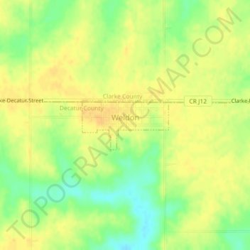
Name: Weldon topographic map, elevation, terrain.

Location: Weldon, Decatur County, Iowa, United States (40.89398 -93.74113 40.89929 -93.72879)

Average elevation: 346 m

Minimum elevation: 328 m

Maximum elevation: 356 m

Gear up for your next adventure:

🧢Outdoor Visor - Breathable visor for sunny hikes
🎒Backpack Rain Cover - External shield to keep your entire pack dry
🪑Insulated Seat Pad - Protect your seat from cold rocks and wet logs
🥾Lightweight Hiking Boots - Boots for comfort and mobility on long hikes
🧤Thermal Hiking Gloves - Grip-enhanced gloves for cold-weather altitude trekking

As an Amazon Associate, this site earns from qualifying purchases at no extra cost to you.