
Puigsacalm topographic map
Click on the map to display elevation.
Puigsacalm
El Puigsacalm es una montaña de 1515 metros de altitud que se encuentra en el municipio de la Vall de Bas, en la comarca de La Garrocha (Cataluña, España). Es el punto más alto de la cordillera Transversal.
About this map
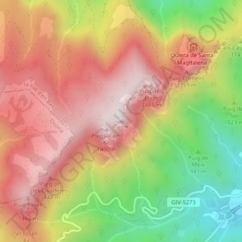
Name: Puigsacalm topographic map, elevation, terrain.
Location: Puigsacalm, la Vall d'en Bas, Garrotxa, Gerona, Cataluña, España (42.12512 2.38787 42.12522 2.38797)
Average elevation: 1,117 m
Minimum elevation: 657 m
Maximum elevation: 1,481 m