
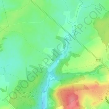
La Gruyère topographic map
Interactive map
Click on the map to display elevation.
About this map
Name: La Gruyère topographic map, elevation, terrain.
Average elevation: 324 m
Minimum elevation: 292 m
Maximum elevation: 379 m
Other topographic maps
Click on a map to view its topography, its elevation and its terrain.
Beauté
France > Grand Est > Haute-Marne > Villegusien-le-Lac
Beauté, Heuilley-Cotton, Villegusien-le-Lac, Langres, Haute-Marne, Grand Est, France métropolitaine, 52600, France
Average elevation: 326 m
La Gouverne
France > Grand Est > Haute-Marne > Villegusien-le-Lac
La Gouverne, Villegusien-le-Lac, Langres, Haute-Marne, Grand Est, France métropolitaine, 52190, France
Average elevation: 320 m