
Cieza topographic map
Interactive map
Click on the map to display elevation.
About this map
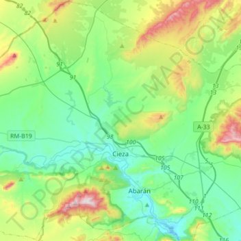
Name: Cieza topographic map, elevation, terrain.
Location: Cieza, Vega Alta del Segura, Murcia, 30530, España (38.16220 -1.59503 38.37638 -1.31888)
Average elevation: 346 m
Minimum elevation: 138 m
Maximum elevation: 929 m