
Djebahia topographic map
Interactive map
Click on the map to display elevation.
About this map
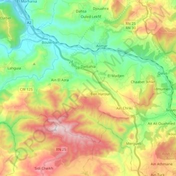
Name: Djebahia topographic map, elevation, terrain.
Location: Djebahia, Daïra Kadiria, Bouira, Algérie (36.41781 3.63811 36.50163 3.80623)
Average elevation: 487 m
Minimum elevation: 153 m
Maximum elevation: 1,029 m