
Etten topographic map
Interactive map
Click on the map to display elevation.
About this map
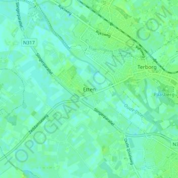
Name: Etten topographic map, elevation, terrain.
Location: Etten, Geldern, Niederlande, 7075, Niederlande (51.89612 6.32046 51.93612 6.36046)
Average elevation: 15 m
Minimum elevation: 11 m
Maximum elevation: 20 m