
Yangpyeong-gun topographic map
Interactive map
Click on the map to display elevation.
About this map
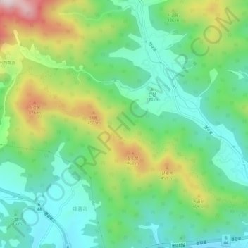
Name: Yangpyeong-gun topographic map, elevation, terrain.
Location: Yangpyeong-gun, Gyeonggi-do, South Korea (37.48340 127.53541 37.52340 127.57541)
Average elevation: 238 m
Minimum elevation: 60 m
Maximum elevation: 602 m