
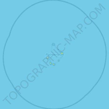
Palmerston topographic map
Interactive map
Click on the map to display elevation.
About this map
Name: Palmerston topographic map, elevation, terrain.
Location: Palmerston, Cook Islands (-18.29240 -163.40168 -17.79037 -162.90717)
Average elevation: 0 m
Minimum elevation: 0 m
Maximum elevation: 23 m