
Ban Mai topographic map
Interactive map
Click on the map to display elevation.
About this map
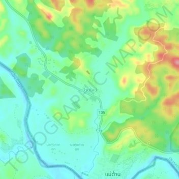
Name: Ban Mai topographic map, elevation, terrain.
Location: Ban Mai, Tak Province, Thailand (17.22565 98.20340 17.26565 98.24340)
Average elevation: 156 m
Minimum elevation: 119 m
Maximum elevation: 236 m