
أدرار topographic map
Interactive map
Click on the map to display elevation.
About this map
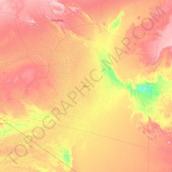
Name: أدرار topographic map, elevation, terrain.
Location: أدرار, Argélia (20.02838 -5.66826 31.65961 2.49875)
Average elevation: 450 m
Minimum elevation: 121 m
Maximum elevation: 3,843 m