
Huacata topographic map
Interactive map
Click on the map to display elevation.
About this map
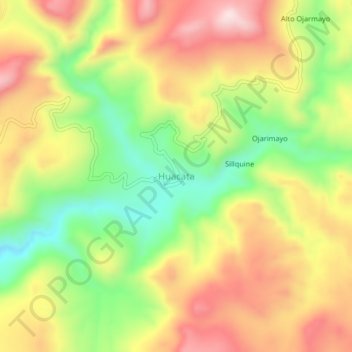
Name: Huacata topographic map, elevation, terrain.
Location: Huacata, Sancos, Provincia de Lucanas, Ayacucho, Perú (-15.08755 -74.08253 -15.04755 -74.04253)
Average elevation: 3,217 m
Minimum elevation: 2,999 m
Maximum elevation: 3,431 m